


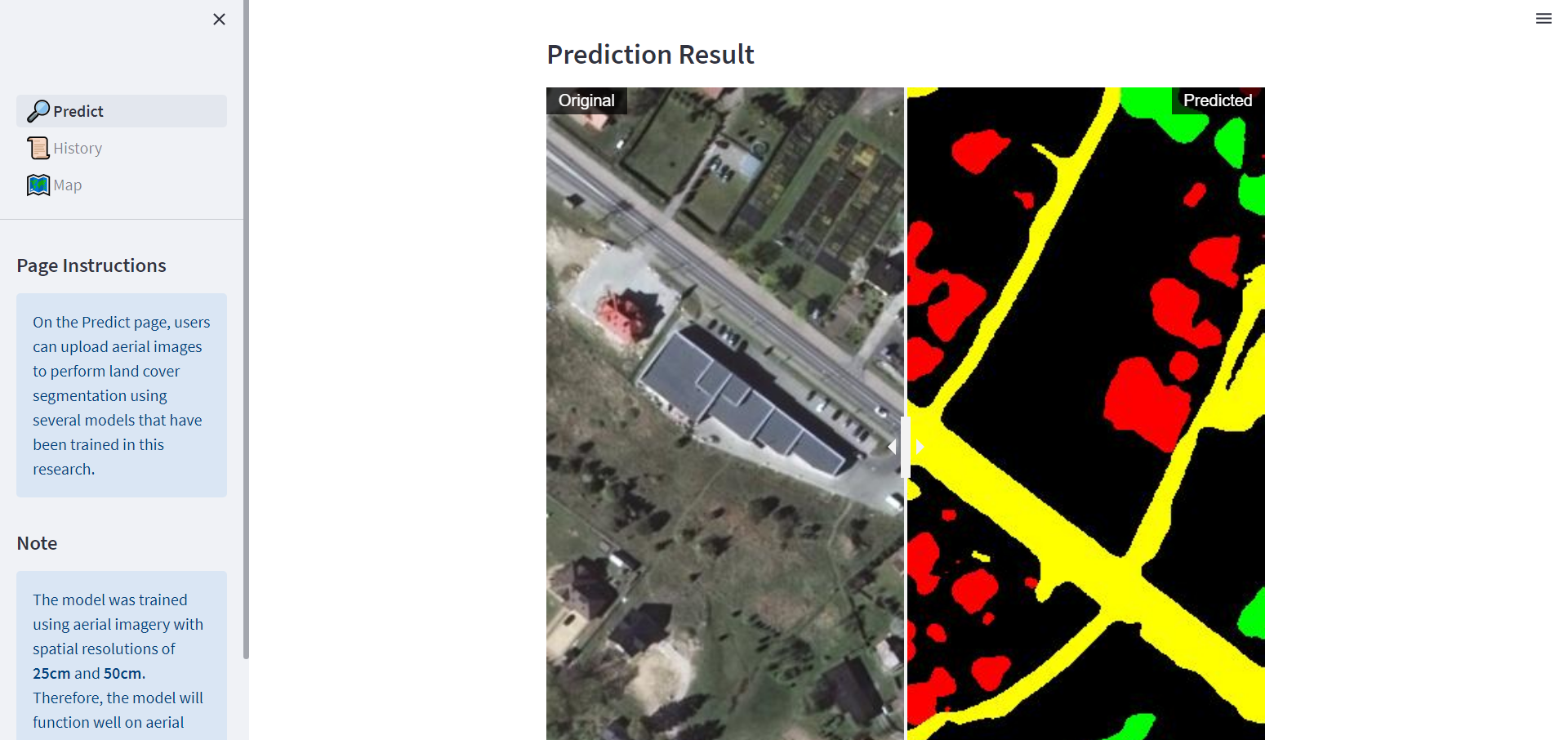
Project Overview
This project served as my thesis for my Undergraduate Program in Computer Science & Mathematics. It involved a segmentation classification project where I proposed a modified version of the state-of-the-art UNetFormer model, incorporating nested skip connections inspired by UNet++, named UNetFormer++.
The model was trained on top-down aerial images of the Earth, acquired from the LandoverAI Dataset, to generate segmentation maps for identifying land cover types. A benchmarking study was conducted, comparing the performance of various segmentation models including UNet, UNet++, DeepLabV3+, and UNetFormer. The proposed UNetFormer++ model exhibited a slight improvement over the original UNetFormer model. Training was carried out for 10 epochs, and each model's progress was logged using WandB, accessible for review here.